
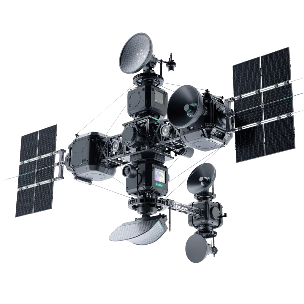
-
Data Processing
Cloud-Based Multi-Sensor Fusion -
Communication System
Secure Military SATCOM Network -
Mission Availability
24/7 Persistent Surveillance -
Cyber Security
AI-Enabled Intrusion Protection
Strategic Space Reconnaissance Network
The Strategic Space Reconnaissance Network is an integrated space-based intelligence, surveillance, and reconnaissance (ISR) architecture designed to provide persistent global monitoring, threat detection, strategic intelligence collection, and real-time battlefield awareness. The network combines reconnaissance satellites, AI-enabled analytics, secure communications, and multi-domain data fusion to support military and national security operations.
G2G Facilitation-
G2G ONLY / GOVERNMENT
Full System Specifications
Security & Resilience Features
-
Cyber Defense
AI-driven network protection
-
Redundant Constellation Design
Continuous operational survivability
-
Space Situational Awareness
Orbital threat monitoring
-
EMP Protection
Hardened electronics architecture
AI & Autonomous Features
-
Predictive Intelligence
Forecasting hostile activities
-
Autonomous Task Scheduling
Dynamic satellite mission management
-
Object Recognition
Vehicle, aircraft, and vessel identification
-
Multi-Sensor Data Fusion
Integrated intelligence analysis
Available Variants
Multiple barrel length and configuration options — from ultra-compact CQB to full-length designated marksman configurations.
-
01GREY ZONE / RESTRICTED
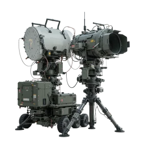
Ground surveillance radars
The Ground Surveillance Radar System is a high-performance, tactical X-band pulse-Doppler radar platform engineered for border protection, force protection, coastal surveillance, and counter-UAS operations. Built using Active Electronically Scanned Array (AESA) and digital beam-forming architecture, the radar automatically detects, tracks, and classifies moving targets—including dismounted personnel, wheeled/tracked vehicles, low-flying aircraft, and micro-drones—in high-clutter operational environments. Designed for rapid tripodic field deployment or trailer/vehicle integration, it delivers 360° continuous perimeter coverage and seamless integration with command-and-control (C2) networks.
-
02GREY ZONE / RESTRICTED
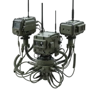
Seismic intrusion sensors
The Seismic Intrusion Sensor System is an unattended ground sensor (UGS) platform engineered for covert perimeter security, border monitoring, and force protection. Utilizing high-sensitivity seismic geophones and acoustic transducers, the system detects low-frequency ground vibrations caused by foot traffic, tracked/wheeled vehicles, and excavation activities. Equipped with onboard digital signal processing (DSP) algorithms, it filters out ambient environmental noise while classifying threats in real time. Designed for rapid tactical emplacement in austere environments, it provides continuous 24/7 early warning intelligence to tactical command networks.
-
03B2B COMMERCIAL / EXPORT
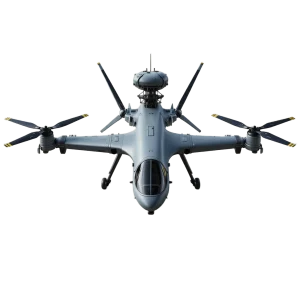
Aerial Surveillance Systems
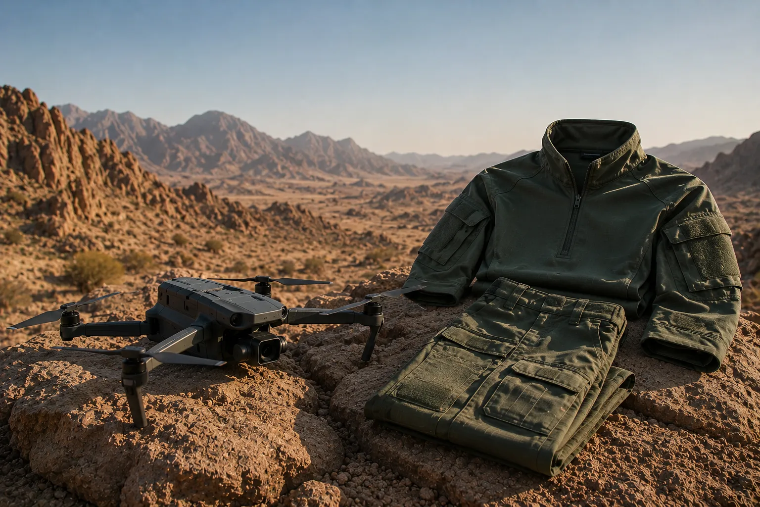
The Tactical VTOL Aerial Surveillance System is a highly deployable, runway-independent Unmanned Aerial System (UAS) engineered for multi-mission Intelligence, Surveillance, and Reconnaissance (ISR). Utilizing a hybrid quad-rotor and fixed-wing design, the system launches and recovers vertically in confined, austere environments before transitioning to highly efficient forward flight. Equipped with an advanced electro-optical/infrared (EO/IR) gimbal and encrypted data links, it delivers persistent, real-time situational awareness, target tracking, and battle damage assessment for tactical ground forces and maritime units.
-
04B2B COMMERCIAL / EXPORT
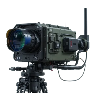
Long-Range Thermal Surveillance Camera
The Long-Range Thermal Surveillance Camera is a high-performance, tactical thermal observation platform engineered for long-distance perimeter security, border monitoring, and military target acquisition. Featuring a high-resolution cooled mid-wave infrared (MWIR) sensor paired with advanced continuous optical zoom optics, the system provides unmatched image clarity through complete darkness, dense fog, battlefield smoke, and atmospheric glare. Mounted on a heavy-duty tripod assembly with integrated wireless telemetry, it delivers continuous, real-time situational awareness for stationary and forward operating bases.
-
05B2B COMMERCIAL / EXPORT
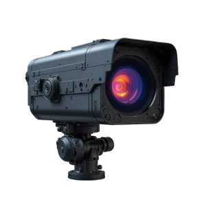
Thermal Imaging Surveillance System
The Thermal Imaging Surveillance System is an advanced, long-range electro-optical surveillance and target detection system designed for military base defense, border security, and critical infrastructure protection. Equipped with a high-sensitivity cooled mid-wave infrared (MWIR) thermal sensor and continuous optical zoom, the system provides persistent 24/7 situational awareness through total darkness, fog, smoke, and atmospheric haze. Mounted on a precision pan-tilt unit, it detects, tracks, and identifies ground and aerial threats at extended standoff ranges.
-
06GREY ZONE / RESTRICTED
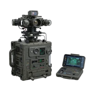
Direction finding equipment
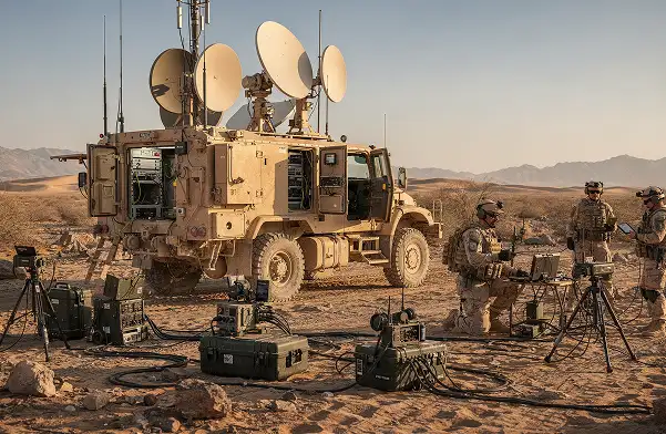
The Direction Finding Equipment is a high-precision tactical radio frequency (RF) geolocation and spectrum monitoring system designed for Signals Intelligence (SIGINT), Electronic Support Measures (ESM), and Counter-UAS missions. Featuring a compact multi-element direction-finding antenna array coupled with a processing unit and a ruggedized tactical operator terminal, the system rapidly detects, intercepts, and pinpoints the Line of Bearing (LoB) of RF threat emitters. Built for rapid deployment in grey-zone and high-threat environments, it enables real-time threat identification and location tracking across hostile electromagnetic battlefields.
-
07B2B COMMERCIAL / EXPORT
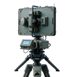
Ground Surveillance Radar
The Ground Surveillance Radar System is a man-portable, tripod-mounted tactical surveillance platform engineered for long-range perimeter protection, border monitoring, and force protection. Combining high-resolution Doppler radar with integrated electro-optical and thermal camera sensors, the system provides automated all-weather target detection, track-while-scan functionality, and positive target identification. Designed for rapid field deployment in forward operating bases and austere combat environments, it operates reliably under extreme conditions to deliver continuous real-time situational awareness.
-
08B2B COMMERCIAL / EXPORT
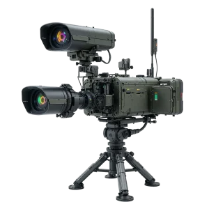
Multi-Sensor Thermal Imaging System
The Multi-Sensor Thermal Imaging System is an advanced, tripod-mounted electro-optical surveillance platform designed for long-range perimeter defense, border surveillance, and critical infrastructure monitoring. Integrating a high-sensitivity cooled thermal camera, continuous optical zoom daylight sensor, laser rangefinder, and precision pan-tilt unit, the system provides persistent 24/7 intelligence, surveillance, and target acquisition (ISTAR) capability across total darkness, fog, smoke, and degraded atmospheric conditions.


Explore Defence Categories
Browse a wide range of defence equipment and technologies organized for easy discovery.
View All Categories



Manufacture with Precision. Deliver with Confidence.
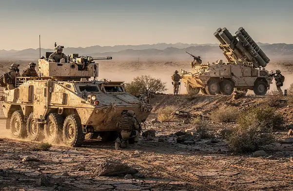
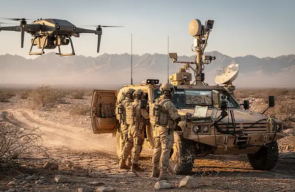
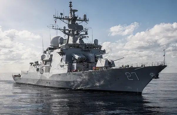
Delivering end-to-end OEM manufacturing for defence systems—from design and engineering to production and integration. Built to global standards with precision, reliability, and scalability.
Speak With OEM Team
Request Procurement Quote
- All sales subject to applicable export control laws and regulations. End User Certificates required.